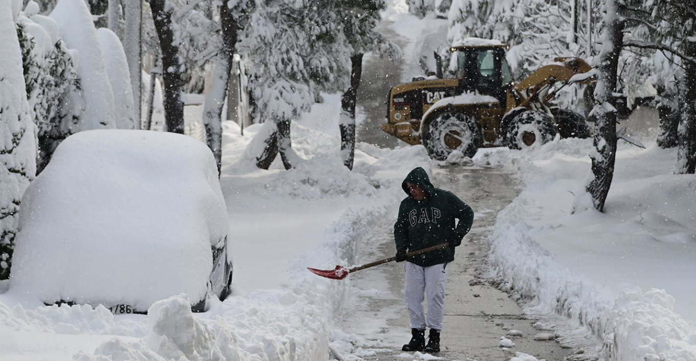
Attica is bracing for a second wave of snow. as the bad weather system called “Barbara” continues to rage across the capital dressing the whole basic in white.
According to the latest forecasts, more snowfall and more intense phenomena will affect the region in the next few hours.
According to meteorologist Clearchos Marousakis, a further deterioration of the weather is expected until tomorrow shortly before noon, with heavy snowfall in regions in the greater part of the prefecture of Attica.
In his post on Facebook, the meteorologist writes the following: “The latest data that we got a little while ago from our forecasting system converges on a new worsening of the weather from the next few hours and until tomorrow shortly before noon with heavy snowfall in places in the largest part of the prefecture of Attica. Increased chances that this new wave of snow will create quite a few problems. We should show the required attention!”.
Snowfall is still expected, on Tuesday, in Eastern Thessaly, Eastern Sterea, Sporades, Evia, in the lowland parts of the Eastern Peloponnese, as well as in the Central and South Aegean (with the exception of the Dodecanese), with snowfall in the mountainous and semi-mountainous parts of Crete.
also read
Julia Alexandratou becomes a Mom (photo)
The snowfall in the early hours of the morning in Magnesia, Fthiotida, and Magnesia will be heavy at times.
In Attica, the height of the snow is estimated at 10 – 30 cm, while at higher altitudes the height of the snow is expected to reach 40 – 60 cm. In the western and northern parts of the prefecture, it is locally estimated that up to 20 – 40 centimetres of snow will be recorded. Within the Attica basin, the most significant snowfalls are expected mainly in the northernmost parts, where up to 10 centimetres of snow are likely to be recorded, while smaller chances for some snowfall exist in the most central and southern parts of the basin.
Ask me anything
Explore related questions


