Emergency measures for the severe weather affecting regions of Macedonia will be implemented from today at 18:00 until tomorrow at 14:00.
Specifically,
Following today’s meeting of the scientific Risk Assessment Committee, chaired by the Minister of Climate Crisis and Civil Protection, Vassilis Kikilias, to evaluate the updated meteorological data for today and Monday, the proposed measures are as follows:
- Ban on heavy vehicle traffic from today at 18:00 until tomorrow at 14:00:
a) On Egnatia Odos, from Drosokhori tolls to Polymylos tolls.
b) From the Kalabaka interchange of E65 provincial network to Panagia E06 and from Grevena E015 to Egnatia interchanges. - Mandatory use of snow chains across the entire network in the regions of Epirus, Western Macedonia, Central Macedonia, Eastern Macedonia and Thrace, and Western Thessaly.
- Schools will remain closed tomorrow in Western Macedonia.
- Mayors will decide on school closures on a case-by-case basis in Eastern and Central Macedonia.
Weather Warning for Macedonia: Snow and Cold Temperatures – New Emergency Bulletin from the National Meteorological Service (EMY)
It is worth noting that earlier, the National Meteorological Service (EMY) updated its emergency bulletin, warning of snow even at low altitudes in Northern Greece.
More Details:
Weather conditions will worsen from today, Sunday (12-01-25), through Tuesday (14-01-25), in western, central, and northern Greece, with locally intense rain and storms primarily in the west.
Snowfall will occur in mountainous mainland areas and semi-mountainous regions of central and northern Greece. In Northern Greece, snowfall is expected from Sunday evening through Monday even in areas at lower altitudes.
Temperatures over the three-day period will drop by 9-10 degrees in central and northern regions and by 3-5 degrees elsewhere, returning to seasonal averages.
Northeastern winds in the central and northern Aegean will reach 8-9 Beaufort.
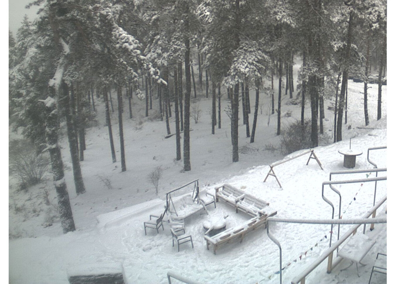
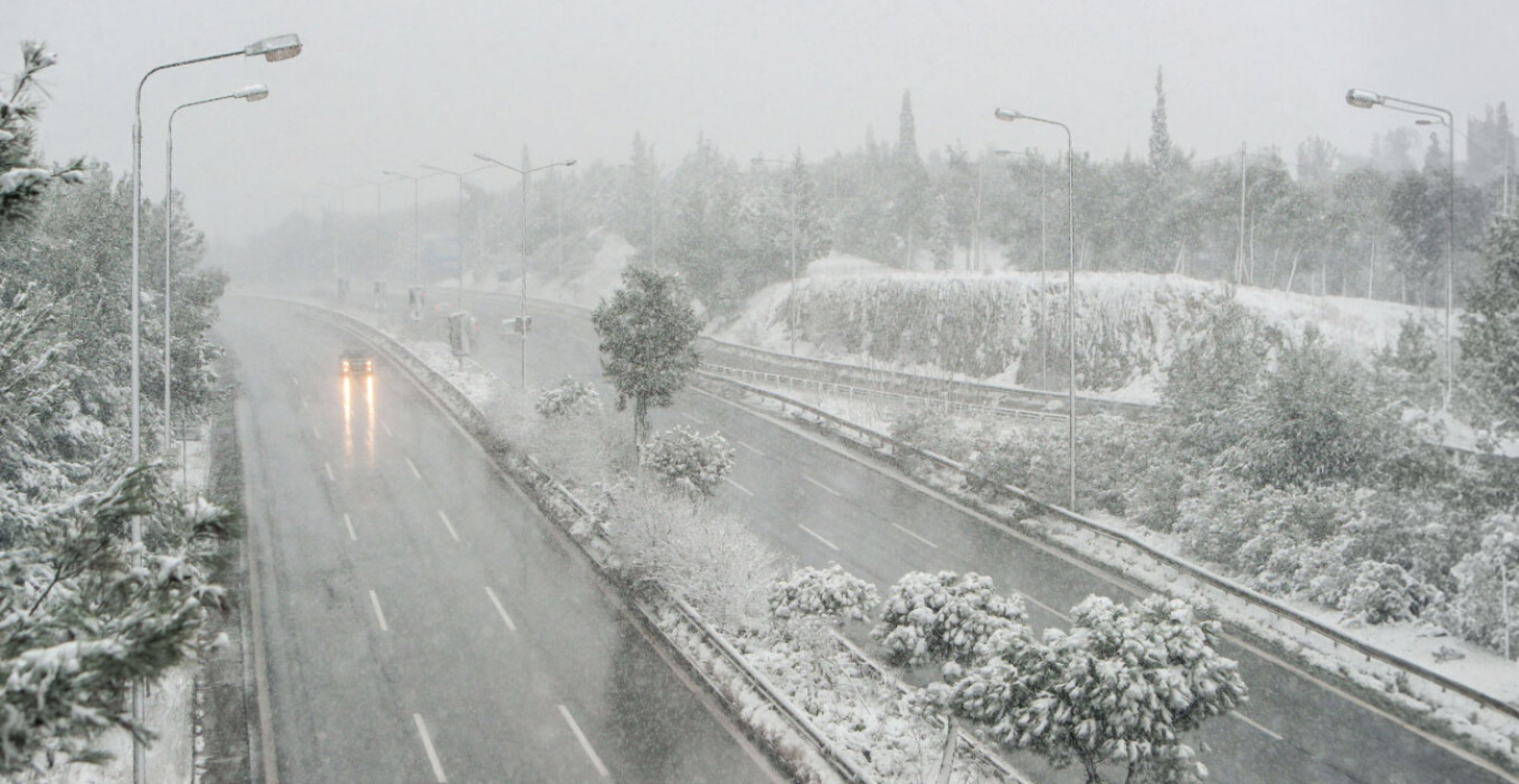
Since early morning, it has been snowing in Florina, Kozani, and other cities in Western Macedonia, as well as areas of Central and Eastern Macedonia and Thrace.
Images of the first snowy landscapes have been captured by the cameras of the meteo.gr network / National Observatory of Athens. Snowfall has been relatively light until midday Sunday, 12/01, in Western Macedonia and primarily mountainous regions in the north. Snowfall is expected to intensify in the coming hours.

On Tuesday (14-01-25), the intense weather phenomena will gradually be limited to the southern regions and weaken.
DETAILED FORECAST
SUNDAY, 12-01-2025
a) Rain and Storms
Locally intense rain and storms will initially occur in the northern Ionian Sea and Epirus, gradually spreading to western and central Macedonia, Thessaly (mainly in the east and north), Sporades, northern Evia, and temporarily to eastern Macedonia, the southern Ionian Sea, and islands in the northern and eastern Aegean.
Storms are expected primarily in the Ionian Sea.
b) Snow
In Western Macedonia, heavy snowfall is expected in mountainous and semi-mountainous areas, as well as in areas at lower altitudes.
In Central and Eastern Macedonia and Thrace, snowfall will initially occur in mountainous areas, gradually spreading to semi-mountainous regions and, by evening, to areas at lower altitudes.
In Epirus and Thessaly (especially in the west), snow will fall in mountainous and semi-mountainous regions.
c) Winds
Locally gale-force northeasterly winds, with a strength of 7-8 Beaufort, will blow in the northern Aegean.
d) Temperature
Temperatures will gradually drop in Northern Greece by 5-6 degrees Celsius and in Central Greece by 3-4 degrees Celsius.
MONDAY, 13-01-2025
a) Rain and Storms
Heavy rain and thunderstorms are initially forecast for the Ionian Sea (mainly the southern part), the islands of the northern and eastern Aegean, the Peloponnese, and gradually for Central Greece, Thessaly (mainly the eastern parts), the Sporades, and Evia.
b) Snow
In Epirus, Macedonia, Thrace, and Thessaly, dense snowfall is expected in mountainous and semi-mountainous areas, while snow may also fall in some lower-altitude areas.
In Central Greece and the Peloponnese, snowfall will occur in mountainous and semi-mountainous regions.
c) Winds
In the northern Aegean, gale-force northeasterly winds of 8-9 Beaufort will blow. In the Ionian, gale-force southeasterly winds of 7-8 Beaufort are expected.
d) Temperature
Temperatures will drop further in central and northern regions by 3-4 degrees Celsius.
TUESDAY, 14-01-2025
Snowfall in the north will gradually weaken and become limited to mountainous and semi-mountainous areas in the central and southern mainland. Locally heavy rainfall is expected in central and southern regions, with thunderstorms occurring in marine areas.
Gale-force winds of 8-9 Beaufort in the Aegean and 7-8 Beaufort in the Ionian will gradually weaken from midday onwards.
Temperatures will not show any significant change.
Ask me anything
Explore related questions


